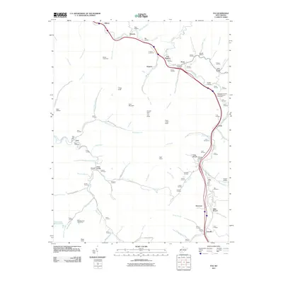
2011 Map of Pax
USGS Topo · Published 2011About this map
Paint Creek and its many winding tributaries define this landscape, connecting a string of coal-country settlements including Pax, Kingston, and Lively. The map reveals a high concentration of family and community burial grounds, such as the Kingston Cemeteries, Stover Cemetery, and Lively Cemetery, providing a dense record for genealogical research. Industrial and infrastructure footprints are visible in the numerous impoundments like the Mcgraw Fork Slurry Dam and Collins Fork Impoundment, signaling the area's continued reliance on the local terrain for resource management.
Find a feature on this map
103 named features on this map. Tap any name to fly to it.
Don’t see what you’re looking for? This feature index may not catch every label — zoom into the map to look around manually.
Map Details
Editions of this 2011 Pax Map
This is the sole edition of this map. No revisions or reprints were ever made.
Other maps of this area

1891 · Raleigh
USGS Topo · 1:125,000

1897 · Kanawha Falls
USGS Topo · 1:125,000

1897 · Raleigh
USGS Topo · 1:125,000

1900 · Kanawha Falls
USGS Topo · 1:125,000

1901 · Kanawha Falls
USGS Topo · 1:125,000

1902 · Raleigh
USGS Topo · 1:125,000

1908 · Fayetteville
USGS Topo · 1:48,000

1908 · Montgomery
USGS Topo · 1:48,000

1910 · Fayetteville
USGS Topo · 1:62,500

1910 · Montgomery
USGS Topo · 1:62,500