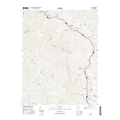
2016 Map of Pax
USGS Topo · Published 2016About this map
Pax and the surrounding coal country of Fayette Co and Raleigh Co are defined by deep-cut hollows and a dense network of mountain settlements. The modern landscape is bisected by the West Virginia Turnpike, crossing the Stanley Bender Memorial Bridge and Skitter Creek Bridge as it winds past Milburn and Westerly. The map reveals a high concentration of family and community burial grounds, including the Pax Cem, Wriston Cem, and Sutphin Cem, reflecting the deep-rooted genealogy of the region. Industrial influence is visible in the Rowland Mine Impoundment near Packs Knob, while smaller communities like Lively, Mossy, and Cirtsville occupy the narrow valleys along Paint Cr and Lick Fork. The proximity of places like East Kingston and Weirwood suggests a historic pattern of residential growth linked to the extraction and transportation routes that have long shaped these Appalachian ridges.
Find a feature on this map
129 named features on this map. Tap any name to fly to it.
Don’t see what you’re looking for? This feature index may not catch every label — zoom into the map to look around manually.
Map Details
Editions of this 2016 Pax Map
This is the sole edition of this map. No revisions or reprints were ever made.
Other maps of this area

1891 · Raleigh
USGS Topo · 1:125,000

1897 · Kanawha Falls
USGS Topo · 1:125,000

1897 · Raleigh
USGS Topo · 1:125,000

1900 · Kanawha Falls
USGS Topo · 1:125,000

1901 · Kanawha Falls
USGS Topo · 1:125,000

1902 · Raleigh
USGS Topo · 1:125,000

1908 · Fayetteville
USGS Topo · 1:48,000

1908 · Montgomery
USGS Topo · 1:48,000

1910 · Fayetteville
USGS Topo · 1:62,500

1910 · Montgomery
USGS Topo · 1:62,500