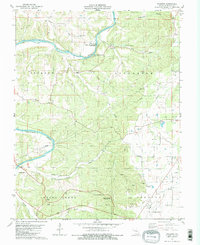
1981 Map of Paydown
USGS Topo · Published 1981About this map
The Gasconade River winds through the northern half of this quadrangle, shaping a landscape defined by sharp bends and high bluffs near Paydown. During the early 1980s, this area maintained a mix of rural agriculture and extractive industries, evidenced by numerous claypits and a Quarry in the southern township. The presence of the Rolla National Airport and the Vichy Lookout Tower highlights the region's importance as a transportation and monitoring hub for central Missouri.
Find a feature on this map
41 named features on this map. Tap any name to fly to it.
Don’t see what you’re looking for? This feature index may not catch every label — zoom into the map to look around manually.
Map Details
Editions of this 1981 Paydown Map
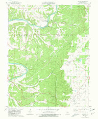
2 editions found
Other maps of this area

1934 · Linn
USGS Topo · 1:48,000

1934 · Bland
USGS Topo · 1:62,500

1934 · Redbird
USGS Topo · 1:62,500

1937 · Bland
USGS Topo · 1:62,500

1937 · Vienna
USGS Topo · 1:62,500

1938 · Redbird
USGS Topo · 1:62,500

1938 · Vienna
USGS Topo · 1:48,000

1942 · Linn
USGS Topo · 1:62,500

1945 · Linn
USGS Topo · 1:62,500

1949 · Saint Louis
USGS Topo · 1:250,000