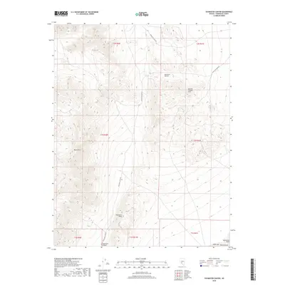
2018 Map of Paymaster Canyon
USGS Topo · Published 2018About this map
Paymaster Canyon and the high elevations of the Paymaster Ridge dominate this corner of Esmeralda County, providing a detailed look at the arid topography between the Weepah Hills and the General Thomas Hills. The map traces the winding path of Paymaster Canyon Rd as it climbs toward Paymaster Summit, reflecting the minimal infrastructure typical of this high desert region. In the southeast corner, the landscape transitions into the vast floor of the Montezuma Valley, where the edges of Alkali Lake and the Ralston Desert begin to appear. This 2018 survey captures the intersection of several historic townships, highlighting the complex land divisions used to manage this territory.
Find a feature on this map
16 named features on this map. Tap any name to fly to it.
Don’t see what you’re looking for? This feature index may not catch every label — zoom into the map to look around manually.
Map Details
Editions of this 2018 Paymaster Canyon Map
This is the sole edition of this map. No revisions or reprints were ever made.
Other maps of this area

1898 · Silver Peak
USGS Topo · 1:125,000

1900 · Silver Peak
USGS Topo · 1:125,000

1907 · Tonopah
USGS Topo · 1:250,000

1908 · Lida
USGS Topo · 1:250,000

1908 · Tonopah
USGS Topo · 1:250,000

1913 · Lida
USGS Topo · 1:250,000

1945 · Goldfield
USGS Topo · 1:125,000

1954 · Goldfield
USGS Topo · 1:250,000

1955 · Goldfield
USGS Topo · 1:250,000

1956 · Tonopah
USGS Topo · 1:250,000