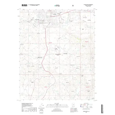
2018 Map of Payson South
USGS Topo · Published 2018About this map
Payson serves as the focal point of this survey, where residential development meets the southern edge of the Tonto National Forest. The map documents a blend of educational and historical infrastructure, including the Gila Community College Payson Campus and the Payson Pioneer Cem. Smaller residential pockets like Fort McDonald and Oxbow Estates are distributed along the highway corridors, while the terrain transition is marked by features like Elephant Head Tank and Monument Peak.
Find a feature on this map
88 named features on this map. Tap any name to fly to it.
Don’t see what you’re looking for? This feature index may not catch every label — zoom into the map to look around manually.
Map Details
Editions of this 2018 Payson South Map
This is the sole edition of this map. No revisions or reprints were ever made.
Other maps of this area

1887 · Verde
USGS Topo · 1:250,000

1892 · Verde
USGS Topo · 1:250,000

1934 · Pine
USGS Topo · 1:62,500

1934 · Promontory Butte
USGS Topo · 1:62,500

1936 · Payson
USGS Topo · 1:48,000

1937 · Diamond Butte
USGS Topo · 1:48,000

1939 · Promontory Butte
USGS Topo · 1:62,500

1940 · Pine
USGS Topo · 1:62,500

1942 · Payson
USGS Topo · 1:62,500

1943 · Diamond Butte
USGS Topo · 1:62,500