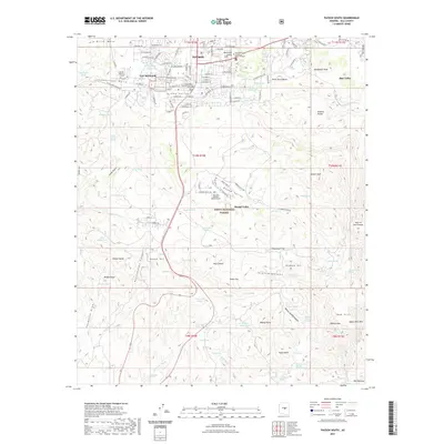
2021 Map of Payson South
USGS Topo · Published 2021About this map
Payson serves as the central hub of this Gila County landscape, characterized by its transition from a compact town center to the surrounding ranchlands and wild terrain of the Tonto National Forest. The map documents a blend of civic infrastructure, such as the Gila County Superior Court and the Gila Community College Payson Campus, alongside deep-rooted local history at the Payson Pioneer Cem and Fort McDonald. To the south and east, the geography becomes more defined by water management and natural landmarks, including Star Valley and Round Valley. Significant topographic features like Oxbow Hill, Bishop Nose, and Monument Peak punctuate the horizon, while an extensive network of tanks and springs, such as Peach Orchard Spring and Jackson Tank, reveal the critical importance of water resources in this arid environment.
Find a feature on this map
117 named features on this map. Tap any name to fly to it.
Don’t see what you’re looking for? This feature index may not catch every label — zoom into the map to look around manually.
Map Details
Editions of this 2021 Payson South Map
This is the sole edition of this map. No revisions or reprints were ever made.
Other maps of this area

1887 · Verde
USGS Topo · 1:250,000

1892 · Verde
USGS Topo · 1:250,000

1934 · Pine
USGS Topo · 1:62,500

1934 · Promontory Butte
USGS Topo · 1:62,500

1936 · Payson
USGS Topo · 1:48,000

1937 · Diamond Butte
USGS Topo · 1:48,000

1939 · Promontory Butte
USGS Topo · 1:62,500

1940 · Pine
USGS Topo · 1:62,500

1942 · Payson
USGS Topo · 1:62,500

1943 · Diamond Butte
USGS Topo · 1:62,500