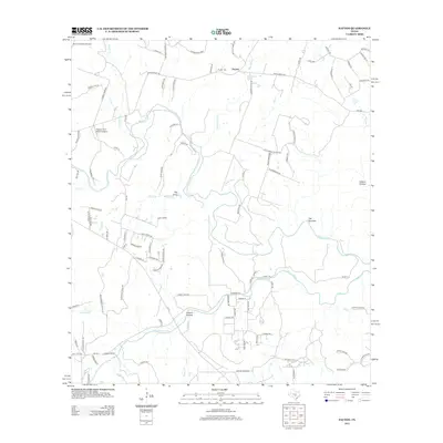
2012 Map of Payton
USGS Topo · Published 2012About this map
The Blanco River and Little Blanco River dominate this Central Texas landscape, defining a terrain shaped by winding waterways and natural passes. In the northern reaches, the small settlement of Payton sits near Boardhouse Springs and the Payton Cem, serving as a focal point for local history and genealogy. The topography is notably marked by geological features such as Stoneledge Pass and The Narrows, where the river corridor constricts through the limestone country. Small private airfields, including Blanco Landing Airport and the Pippen-York Ranch Airport, highlight the modern ranching and recreational utility of the land. Further south, the map details a network of ranch roads and residential clusters like Rusty Acres, situated near Greens Hollow and the drainage of Rocky Cr. The area’s character is defined by this mix of established family ranches and the rugged hydrological network of the Hill Country.
Find a feature on this map
109 named features on this map. Tap any name to fly to it.
Don’t see what you’re looking for? This feature index may not catch every label — zoom into the map to look around manually.
Map Details
Editions of this 2012 Payton Map
This is the sole edition of this map. No revisions or reprints were ever made.
Other maps of this area

1887 · Blanco
USGS Topo · 1:125,000

1894 · Blanco
USGS Topo · 1:125,000

1920 · Smithsons Valley
USGS Topo · 1:62,500

1925 · Smithson Valley No. 1
USGS Topo · 1:48,000

1927 · Smithson Valley
USGS Topo · 1:62,500

1929 · Hunter
USGS Topo · 1:62,500

1929 · Smithson Valley
USGS Topo · 1:62,500

1940 · Smithson Valley
USGS Topo · 1:62,500

1954 · Llano
USGS Topo · 1:250,000

1954 · San Antonio
USGS Topo · 1:250,000