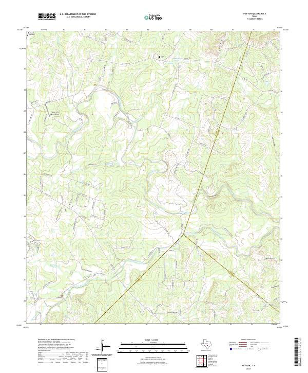
2022 Map of Payton
USGS Topo · Published 2022About this map
The Blanco River snakes through the limestone-carved terrain of the Texas Hill Country in this modern topographical record. At the junction of Blanco, Hays, and Comal counties, the landscape is defined by deep incisions like The Narrows and The Cove, alongside several named hollows and gulches that characterize this part of the Edwards Plateau. Local family history and settlement patterns are anchored by the Peyton Cem and the small residential community at Blanco Landing. The presence of the Pippen-York Ranch Airport and a dense network of ranch roads, including Ranch Rd 165 and Ranch Rd 2325, illustrates the area's contemporary mix of traditional ranching and rural residential development. Hydrological features such as Boardhouse Springs and the Little Blanco River highlight the vital water sources that have historically shaped this central Texas region.
Find a feature on this map
99 named features on this map. Tap any name to fly to it.
Don’t see what you’re looking for? This feature index may not catch every label — zoom into the map to look around manually.
Map Details
Editions of this 2022 Payton Map
This is the sole edition of this map. No revisions or reprints were ever made.
Other maps of this area

1887 · Blanco
USGS Topo · 1:125,000

1894 · Blanco
USGS Topo · 1:125,000

1920 · Smithsons Valley
USGS Topo · 1:62,500

1925 · Smithson Valley No. 1
USGS Topo · 1:48,000

1927 · Smithson Valley
USGS Topo · 1:62,500

1929 · Hunter
USGS Topo · 1:62,500

1929 · Smithson Valley
USGS Topo · 1:62,500

1940 · Smithson Valley
USGS Topo · 1:62,500

1954 · Llano
USGS Topo · 1:250,000

1954 · San Antonio
USGS Topo · 1:250,000