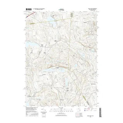
2016 Map of Peach Lake
USGS Topo · Published 2016About this map
Peach Lake and the Titicus River valley define this borderland where Westchester County, New York, meets Fairfield County, Connecticut. The landscape is characterized by a series of glacial lakes and reservoirs, including Lake Waccabuc, Lake Rippowam, and the Titicus Reservoir, which support small residential clusters like Twin Lakes Village. Numerous small family and denominational burial grounds are scattered throughout the region, such as the Peach Pond Friends Cem and the Colonel Enoch Avery Cem, providing a clear map of early settlement patterns in towns like South Salem and North Salem. This modern survey illustrates the persistent rural-residential character of the area, where historic road networks like Dingle Ridge Rd and Starr Ridge Rd connect established hamlets such as Ridgebury and Salem Center across the state line.
Find a feature on this map
223 named features on this map. Tap any name to fly to it.
Don’t see what you’re looking for? This feature index may not catch every label — zoom into the map to look around manually.
Map Details
Editions of this 2016 Peach Lake Map
This is the sole edition of this map. No revisions or reprints were ever made.
Other maps of this area

1892 · Stamford
USGS Topo · 1:62,500

1892 · Danbury
USGS Topo · 1:62,500

1892 · Norwalk
USGS Topo · 1:62,500

1892 · Carmel
USGS Topo · 1:62,500

1893 · Carmel
USGS Topo · 1:62,500

1893 · Stamford
USGS Topo · 1:62,500

1893 · Norwalk
USGS Topo · 1:62,500

1894 · Carmel
USGS Topo · 1:62,500

1899 · Stamford
USGS Topo · 1:62,500

1915 · Danbury
USGS Topo · 1:62,500