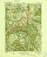
1946 Map of Peach Lake
USGS Topo · Published 1946About this map
Peach Lake Meeting House stands as a focal point in this mid-century survey of the Westchester and Putnam county borderlands. The landscape is defined by its sophisticated water management systems, notably the Titicus Reservoir and Cross River Res, which dominate the western sections of the map. In these rural New York townships, the settlement pattern reflects a deeply rooted community structure, with local landmarks like St Johns Ch, Mead Memorial Chapel, and the Lewisboro Sch serving the surrounding hamlets of North Salem, South Salem, and Salem Center. Genealogical value is found in several burial grounds, including Drews Cliff Cem and June Cem. The terrain is marked by distinct elevations such as Turkey Hill and Titicus Mtn, providing a look at the region's topography before significant post-war suburban expansion altered the character of these northern outskirts.
Find a feature on this map
36 named features on this map. Tap any name to fly to it.
Don’t see what you’re looking for? This feature index may not catch every label — zoom into the map to look around manually.
Map Details
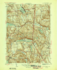
Editions of this 1946 Peach Lake Map
2 editions found
Other maps of this area

1892 · Stamford
USGS Topo · 1:62,500

1892 · Danbury
USGS Topo · 1:62,500

1892 · Norwalk
USGS Topo · 1:62,500

1892 · Carmel
USGS Topo · 1:62,500

1893 · Carmel
USGS Topo · 1:62,500

1893 · Stamford
USGS Topo · 1:62,500

1893 · Norwalk
USGS Topo · 1:62,500

1894 · Carmel
USGS Topo · 1:62,500

1899 · Stamford
USGS Topo · 1:62,500

1915 · Danbury
USGS Topo · 1:62,500