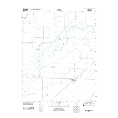
2011 Map of Peach Orchard
USGS Topo · Published 2011About this map
Black River and Little River define the intricate hydrology of this northeast Arkansas landscape, where numerous waterways like Swagger Slough, Cold Water Slough, and Kincaid Slough carve through the bottomlands. The settlement of Peach Orchard serves as a local hub near the southern edge of the map, while smaller locales such as Heelstring and Brookings are situated along the river corridors.
Find a feature on this map
64 named features on this map. Tap any name to fly to it.
Don’t see what you’re looking for? This feature index may not catch every label — zoom into the map to look around manually.
Map Details
Editions of this 2011 Peach Orchard Map
This is the sole edition of this map. No revisions or reprints were ever made.
Other maps of this area

1932 · Walnut Ridge
USGS Topo · 1:62,500

1935 · Knobel
USGS Topo · 1:62,500

1935 · Reyno
USGS Topo · 1:62,500

1935 · Walnut Ridge
USGS Topo · 1:62,500

1940 · Gainesville
USGS Topo · 1:62,500

1941 · Knobel
USGS Topo · 1:62,500

1957 · Poplar Bluff
USGS Topo · 1:250,000

1958 · Gainesville
USGS Topo · 1:62,500

1959 · Poplar Bluff
USGS Topo · 1:250,000
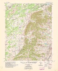
1960 · Gainesville
USGS Topo · 1:62,500