Loading...
Loading map...2024 Map of Peach Orchard
USGS Topo · Published 2024About this map
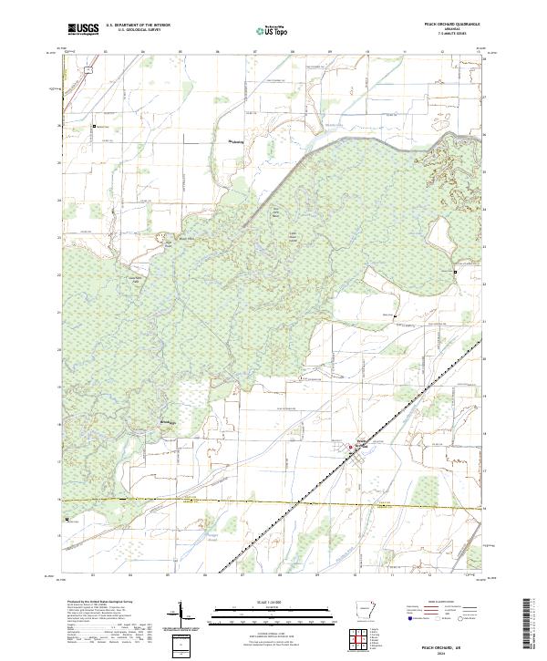
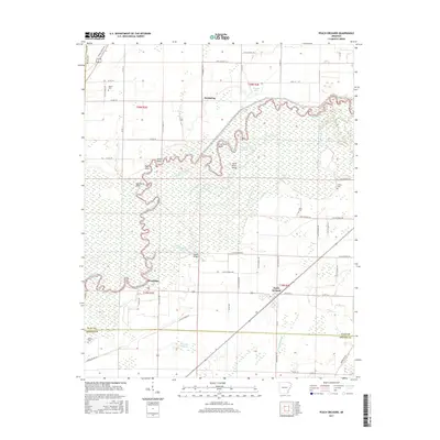
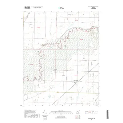
Peach Orchard and the small communities of Brookings and Heelstring anchor this study of the lowland landscape where Clay Co and Greene Co meet. The geography is defined by the winding course of the Black River, which creates a complex network of wetlands and oxbows, including Cow Ford Bend and Little River Island. This aquatic environment is further characterized by numerous secondary waterways and backwaters such as Swagger Slough, Gold Water Slough, and Cross Slough.
Find a feature on this map
68 named features on this map. Tap any name to fly to it.
Don’t see what you’re looking for? This feature index may not catch every label — zoom into the map to look around manually.
Map Details
Date Portrayed2024
Date Published2024
PublisherU.S. Geological Survey
Map TypeTopographic
Scale1:24,000
Physical Dimensions24 x 29 inches
Editions of this 2024 Peach Orchard Map
This is the sole edition of this map. No revisions or reprints were ever made.
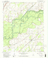
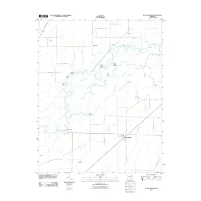
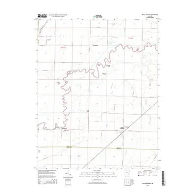
Historical Maps of Reyno Through Time
6 maps found
Featured Locations
Source Details
SourceU.S. Geological Survey
CopyrightPublic Domain