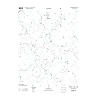
2013 Map of Peachtree
USGS Topo · Published 2013About this map
Brasstown and Peachtree anchor this survey of western North Carolina, where the Valley River and its numerous tributaries cut through a landscape of named knobs and coves. The settlement pattern reflects a long-standing agricultural and milling heritage, with landmarks like Arrowood Mill and Jones Mill situated near Peachtree Cr. The presence of Shallow Ford Bridge and various bottomlands such as Harshaw Bottom and Suddawig Bottom highlights how early transport and farming routes followed the natural drainage of the Hiwassee River basin. Genealogists and local historians will find value in the network of family-named roads and features, including Greenlawn Cemetery Rd and the small communities of Mission and Ogden. The map documents a rural transition where traditional names like Mumblehead Top and Poorhouse Mountain persist alongside modern local connectors.
Find a feature on this map
220 named features on this map. Tap any name to fly to it.
Don’t see what you’re looking for? This feature index may not catch every label — zoom into the map to look around manually.
Map Details
Editions of this 2013 Peachtree Map
This is the sole edition of this map. No revisions or reprints were ever made.
Other maps of this area

1886 · Dahlonega
USGS Topo · 1:125,000

1888 · Ellijay
USGS Topo · 1:125,000

1892 · Dahlonega
USGS Topo · 1:125,000

1892 · Ellijay
USGS Topo · 1:125,000

1893 · Murphy
USGS Topo · 1:125,000

1896 · Dahlonega
USGS Topo · 1:125,000

1898 · Ellijay
USGS Topo · 1:125,000

1903 · Dahlonega
USGS Topo · 1:125,000

1911 · Ellijay
USGS Topo · 1:125,000

1914 · Murphy
USGS Topo · 1:125,000