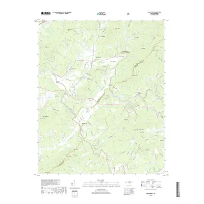
2019 Map of Peachtree
USGS Topo · Published 2019About this map
The Hiwassee River and its confluence with the Valley River define the lower elevations of this western North Carolina landscape, where fertile flats like Harshaw Bottom and Suddawig Bottom have long supported local agriculture. In this rural corridor, the settlements of Peachtree and Brasstown are situated along historic routes, now reflected in the path of Alt US Hwy 64. The map documents numerous family and community sites, including Ferguson Cem, Wells Cem, and the legacy of local industry at Arrwood Mill and Jones Mill.
Find a feature on this map
95 named features on this map. Tap any name to fly to it.
Don’t see what you’re looking for? This feature index may not catch every label — zoom into the map to look around manually.
Map Details
Editions of this 2019 Peachtree Map
This is the sole edition of this map. No revisions or reprints were ever made.
Other maps of this area

1886 · Dahlonega
USGS Topo · 1:125,000

1888 · Ellijay
USGS Topo · 1:125,000

1892 · Dahlonega
USGS Topo · 1:125,000

1892 · Ellijay
USGS Topo · 1:125,000

1893 · Murphy
USGS Topo · 1:125,000

1896 · Dahlonega
USGS Topo · 1:125,000

1898 · Ellijay
USGS Topo · 1:125,000

1903 · Dahlonega
USGS Topo · 1:125,000

1911 · Ellijay
USGS Topo · 1:125,000

1914 · Murphy
USGS Topo · 1:125,000