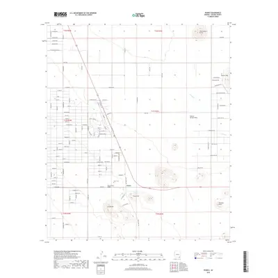
2018 Map of Pearce
USGS Topo · Published 2018About this map
Pearce serves as the focal point of this modern survey, situated within the broad expanse of the Sulphur Springs Valley in southeastern Arizona. The settlement's history is anchored by its local landmarks, including the Pearce Cem and the Pearce Road Bridge. The surrounding terrain is defined by prominent volcanic and erosional features such as Pearce Hill, Sixmile Hill, and the distinctive Three Sisters Buttes to the northeast. A grid of residential streets like Cochise Way and Geronimo Way contrasts with the winding course of Turkey Cr. The map captures a high-desert landscape where modern rural development meets traditional cattle ranching and mining history, evidenced by the cluster of named hills and buttes like Township Butte and the Sulphur Hills.
Find a feature on this map
81 named features on this map. Tap any name to fly to it.
Don’t see what you’re looking for? This feature index may not catch every label — zoom into the map to look around manually.
Map Details
Editions of this 2018 Pearce Map
This is the sole edition of this map. No revisions or reprints were ever made.
Other maps of this area

1916 · Pearce
USGS Topo · 1:125,000

1922 · Willcox
USGS Topo · 1:125,000

1926 · Light
USGS Topo · 1:62,500

1926 · Courtland
USGS Topo · 1:62,500

1943 · Dos Cabezas
USGS Topo · 1:62,500

1943 · Cochise
USGS Topo · 1:62,500

1954 · Silver City
USGS Topo · 1:250,000

1955 · Douglas
USGS Topo · 1:250,000

1957 · Dos Cabezas
USGS Topo · 1:62,500

1958 · Silver City
USGS Topo · 1:250,000