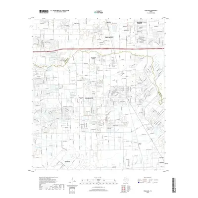
2019 Map of Pearland
USGS Topo · Published 2019About this map
Pearland and Brookside Village anchor this landscape along the Harris Co and Brazoria Co border, where suburban expansion meets legacy bayou drainage. The 2019 data illustrates a complex network of waterways, including the winding course of Clear Creek and Hickory Slough, which dictate the local street patterns. Aviation history is prominent here, with both the Houston Airpark and Skyway Manor Airport situated among the residential blocks, reflecting the region's long association with private flight and industrial transit.
Find a feature on this map
40 named features on this map. Tap any name to fly to it.
Don’t see what you’re looking for? This feature index may not catch every label — zoom into the map to look around manually.
Map Details
Editions of this 2019 Pearland Map
This is the sole edition of this map. No revisions or reprints were ever made.
Other maps of this area

1915 · Bellaire
USGS Topo · 1:24,000

1915 · Park Place
USGS Topo · 1:24,000

1915 · Deepwater
USGS Topo · 1:24,000

1916 · Genoa
USGS Topo · 1:24,000

1919 · Deepwater
USGS Topo · 1:31,680

1920 · Genoa
USGS Topo · 1:31,680

1920 · Mykawa
USGS Topo · 1:31,680

1920 · Almeda
USGS Topo · 1:31,680

1921 · Bellaire
USGS Topo · 1:31,680

1922 · Park Place
USGS Topo · 1:31,680