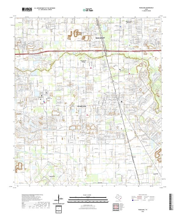
2022 Map of Pearland
USGS Topo · Published 2022About this map
Pearland sits at the heart of this landscape where the sprawling growth of Houston meets the suburban and rural reaches of the Harris and Brazoria county line. The map captures a high-density network of modern residential developments and infrastructure, yet it preserves the locations of numerous historic burial grounds such as Old Settlers Cem and Resurrection Cem. The area is bisected by the massive corridor of Beltway 8, also known as the Sam Houston Pkwy, illustrating the region's reliance on major transportation arteries.
Find a feature on this map
35 named features on this map. Tap any name to fly to it.
Don’t see what you’re looking for? This feature index may not catch every label — zoom into the map to look around manually.
Map Details
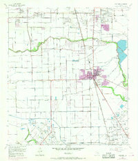
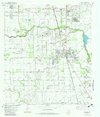
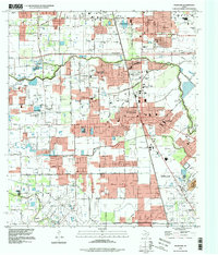
Editions of this 2022 Pearland Map
This is the sole edition of this map. No revisions or reprints were ever made.
Historical Maps of Minnetex Through Time
4 maps found