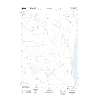
2012 Map of Pease Flat
USGS Topo · Published 2012About this map
Pease Flat and the surrounding high desert terrain define this landscape at the edge of Goose Lake in southern Oregon. The presence of Pease Cabin and several named agricultural outposts like Point Ranch, Cove Ranch, and Everly Ranch indicates a history of ranching and livestock management in this arid region. The drainage systems are marked by seasonal creeks and springs, including Fletcher Cr and Hole-in-Ground-Spring, which feed into various man-made water catchments such as Householder Reservoir and Enquist Reservoir. Notable geological features include the prominent Dry Creek Rim, while unique landmarks like Meteorite Tank and its associated Meteorite Tank Rd suggest specific local events or geographical oddities documented during this early 21st-century survey.
Find a feature on this map
56 named features on this map. Tap any name to fly to it.
Don’t see what you’re looking for? This feature index may not catch every label — zoom into the map to look around manually.
Map Details
Editions of this 2012 Pease Flat Map
This is the sole edition of this map. No revisions or reprints were ever made.
Other maps of this area

1886 · Alturas
USGS Topo · 1:250,000

1892 · Alturas
USGS Topo · 1:250,000

1954 · Alturas
USGS Topo · 1:250,000

1955 · Klamath Falls
USGS Topo · 1:250,000

1958 · Alturas
USGS Topo · 1:250,000

1958 · Klamath Falls
USGS Topo · 1:250,000

1962 · Alturas
USGS Topo · 1:250,000

1962 · Willow Ranch
USGS Topo · 1:62,500

1962 · South Mountain
USGS Topo · 1:62,500

1964 · Lakeview SW
USGS Topo · 1:24,000