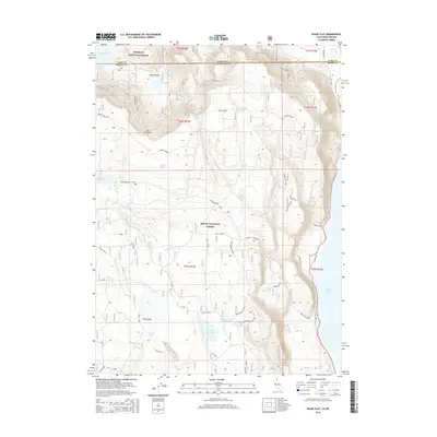
2015 Map of Pease Flat
USGS Topo · Published 2015About this map
Oregon and California meet along a remote boundary line defined by high-desert plateaus and water management infrastructure. The landscape is dominated by the intersection of the Fremont National Forest and Modoc National Forest, where the terrain drops from the Dry Creek Rim toward the western shores of Goose Lake. This 2015 survey reveals a complex network of ranching and conservation features, including the Householder Reservoir, Everly Reservoir, and the curiously named Meteorite Tank. Access to these isolated uplands is provided by the extensive Weyerhaeuser Road system and various spurs like S Main. Named water sources such as Hole-in-the-Ground Spring and Back Tuttle Spring suggest the critical importance of reliable water in this arid borderland region near Pease Flat.
Find a feature on this map
42 named features on this map. Tap any name to fly to it.
Don’t see what you’re looking for? This feature index may not catch every label — zoom into the map to look around manually.
Map Details
Editions of this 2015 Pease Flat Map
This is the sole edition of this map. No revisions or reprints were ever made.
Other maps of this area

1886 · Alturas
USGS Topo · 1:250,000

1892 · Alturas
USGS Topo · 1:250,000

1954 · Alturas
USGS Topo · 1:250,000

1955 · Klamath Falls
USGS Topo · 1:250,000

1958 · Alturas
USGS Topo · 1:250,000

1958 · Klamath Falls
USGS Topo · 1:250,000

1962 · Alturas
USGS Topo · 1:250,000

1962 · Willow Ranch
USGS Topo · 1:62,500

1962 · South Mountain
USGS Topo · 1:62,500

1964 · Lakeview SW
USGS Topo · 1:24,000