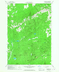
1966 Map of Peasleeville
USGS Topo · Published 1968About this map
Peasleeville and Norrisville anchor this mid-1960s study of the foothills within the Adirondack State Park. The landscape is defined by its transition from the managed timberlands of Clinton State Forest and Burnt Hill State Forest to the numerous named peaks like Terry Mountain and Hogback Mountain. Notable human footprints include the Zion Ch and Peasleeville Cem, alongside the distinct Radio Towers (WPTZ-TV) atop the higher elevations.
Find a feature on this map
54 named features on this map. Tap any name to fly to it.
Don’t see what you’re looking for? This feature index may not catch every label — zoom into the map to look around manually.
Map Details
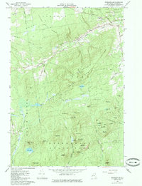
Editions of this 1966 Peasleeville Map
2 editions found
Other maps of this area

1895 · Ausable
USGS Topo · 1:62,500

1896 · Lake Placid
USGS Topo · 1:62,500

1898 · Lake Placid
USGS Topo · 1:62,500

1903 · Ausable
USGS Topo · 1:62,500

1911 · Lyon Mountain
USGS Topo · 1:62,500

1913 · Dannemora
USGS Topo · 1:62,500

1913 · Lyon Mountain
USGS Topo · 1:62,500

1931 · Lyon Mountain
USGS Topo · 1:62,500

1950 · Lake Champlain
USGS Topo · 1:250,000

1953 · Lake Placid
USGS Topo · 1:62,500