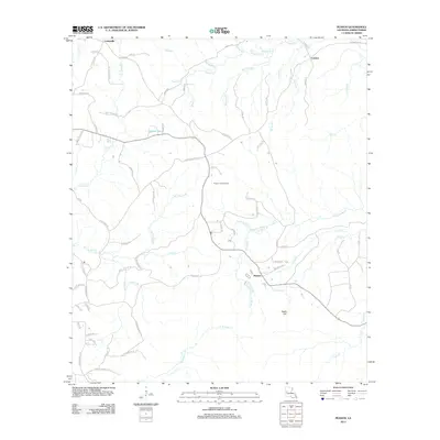
2012 Map of Peason
USGS Topo · Published 2012About this map
Peason and the surrounding piney woods of Sabine Parish are defined by a complex network of bayous and seasonal creeks that drain this corner of western Louisiana. The landscape is dominated by the prominence of Eagle Hill and the strategic Peason Lookout Tower, reflecting a geography once vital for forestry monitoring. Waterways such as Kisatchie Bayou and Kib Bayou wind through the terrain, joined by numerous branches like Wolf Prong Br and Lone Star Br.
Find a feature on this map
82 named features on this map. Tap any name to fly to it.
Don’t see what you’re looking for? This feature index may not catch every label — zoom into the map to look around manually.
Map Details
Editions of this 2012 Peason Map
This is the sole edition of this map. No revisions or reprints were ever made.
Other maps of this area

1937 · Bellwood
USGS Topo · 1:31,680

1942 · Many
USGS Topo · 1:62,500

1942 · Florien
USGS Topo · 1:62,500

1942 · Kisatchie
USGS Topo · 1:62,500

1943 · Many
USGS Topo · 1:62,500

1943 · Kisatchie
USGS Topo · 1:62,500

1943 · Provencal
USGS Topo · 1:62,500

1944 · Florien
USGS Topo · 1:62,500

1945 · Provencal
USGS Topo · 1:62,500

1953 · Alexandria
USGS Topo · 1:250,000