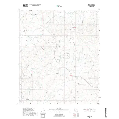
2018 Map of Peason
USGS Topo · Published 2018About this map
Peason and Corleyville anchor this part of Sabine Parish, where the landscape is defined by a dense network of bayous and creek branches. The terrain rises to a prominent point at Eagle Hill in the southern portion of the quadrangle, overlooking the headwaters of Kib Bayou and Kisatchie Bayou. This modern survey illustrates a region where local travel is still dictated by historical routes and water crossings, such as Jordan Crossing Rd and the Nolan Trce.
Find a feature on this map
72 named features on this map. Tap any name to fly to it.
Don’t see what you’re looking for? This feature index may not catch every label — zoom into the map to look around manually.
Map Details
Editions of this 2018 Peason Map
This is the sole edition of this map. No revisions or reprints were ever made.
Other maps of this area

1937 · Bellwood
USGS Topo · 1:31,680

1942 · Many
USGS Topo · 1:62,500

1942 · Florien
USGS Topo · 1:62,500

1942 · Kisatchie
USGS Topo · 1:62,500

1943 · Many
USGS Topo · 1:62,500

1943 · Kisatchie
USGS Topo · 1:62,500

1943 · Provencal
USGS Topo · 1:62,500

1944 · Florien
USGS Topo · 1:62,500

1945 · Provencal
USGS Topo · 1:62,500

1953 · Alexandria
USGS Topo · 1:250,000