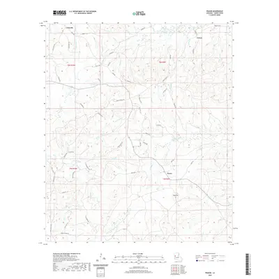
2020 Map of Peason
USGS Topo · Published 2020About this map
Peason and the surrounding piney woods of Sabine Parish are defined by a complex network of small drainage branches and ridges, centered on the landmark elevation of Eagle Hill. The area's settlement pattern is sparse, tied together by long-standing rural routes like Nolan Trce and Jordan Crossing Rd. Historically, this landscape has been deeply shaped by the timber industry and the hydrology of the Kib Bayou and W Anacoco Cr systems. To the northwest, Corleyville sits near the headwaters of Toro Cr, while the northeastern corner is anchored by the community of Coburn. The terrain is etched with dozens of named watercourses, such as Wolf Prong Br and Blue Lick Br, which drain the undulating hills into larger basins. This map preserves the 2020 layout of these communities and their connection to the land through numerous family-named roads like Ive Dowden Rd and Lewis Cole Rd.
Find a feature on this map
68 named features on this map. Tap any name to fly to it.
Don’t see what you’re looking for? This feature index may not catch every label — zoom into the map to look around manually.
Map Details
Editions of this 2020 Peason Map
This is the sole edition of this map. No revisions or reprints were ever made.
Other maps of this area

1937 · Bellwood
USGS Topo · 1:31,680

1942 · Many
USGS Topo · 1:62,500

1942 · Florien
USGS Topo · 1:62,500

1942 · Kisatchie
USGS Topo · 1:62,500

1943 · Many
USGS Topo · 1:62,500

1943 · Kisatchie
USGS Topo · 1:62,500

1943 · Provencal
USGS Topo · 1:62,500

1944 · Florien
USGS Topo · 1:62,500

1945 · Provencal
USGS Topo · 1:62,500

1953 · Alexandria
USGS Topo · 1:250,000