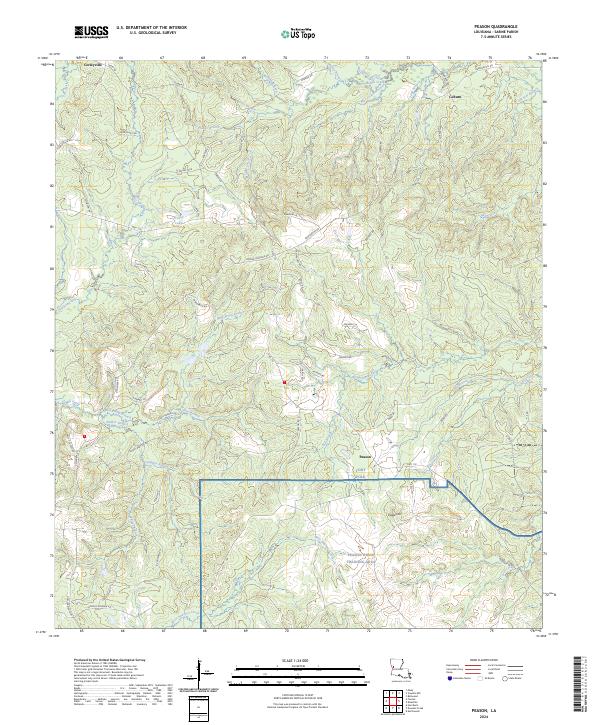
2024 Map of Peason
USGS Topo · Published 2024About this map
Peason Ridge Training Area and the northern reaches of Fort Polk dominate this landscape in Sabine Parish, where military operations meet the timbered hills of Louisiana. The terrain is defined by a dense network of drainages, including the headwaters of Kisatchie Bayou and West Anacoco Creek, as well as the prominent elevation of Eagle Hill. Small settlements like Peason and Corleyville serve as anchors along a web of local roads such as Sneed Rd and Hwy 118.
Find a feature on this map
70 named features on this map. Tap any name to fly to it.
Don’t see what you’re looking for? This feature index may not catch every label — zoom into the map to look around manually.
Map Details
Editions of this 2024 Peason Map
This is the sole edition of this map. No revisions or reprints were ever made.
Other maps of this area

1937 · Bellwood
USGS Topo · 1:31,680

1942 · Many
USGS Topo · 1:62,500

1942 · Florien
USGS Topo · 1:62,500

1942 · Kisatchie
USGS Topo · 1:62,500

1943 · Many
USGS Topo · 1:62,500

1943 · Kisatchie
USGS Topo · 1:62,500

1943 · Provencal
USGS Topo · 1:62,500

1944 · Florien
USGS Topo · 1:62,500

1945 · Provencal
USGS Topo · 1:62,500

1953 · Alexandria
USGS Topo · 1:250,000