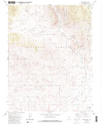
1980 Map of Peavine Ranch
USGS Topo · Published 1980About this map
Peavine Ranch and the Upper Peavine Ranch anchor this landscape of the Toiyabe Range, where water sources like Seyler Spring and Mustang Spring dictate the patterns of human activity in an arid environment. The map shows the transition from the high, dissected terrain of the Toiyabe National Forest down into the expansive Big Smoky Valley. This is a working landscape of the late 1970s, evidenced by several corrals, a Forest Service Station, and isolated wells along Peavine Creek. Mining interest is noted through scattered prospects in the canyons, while a network of jeep trails and a survey marker at Uslm 288 provide evidence of land management and exploration in this portion of Nye County.
Find a feature on this map
24 named features on this map. Tap any name to fly to it.
Don’t see what you’re looking for? This feature index may not catch every label — zoom into the map to look around manually.
Map Details
Editions of this 1980 Peavine Ranch Map
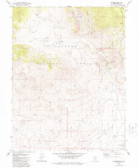
2 editions found
Other maps of this area

1907 · Tonopah
USGS Topo · 1:250,000

1908 · Tonopah
USGS Topo · 1:250,000

1956 · Tonopah
USGS Topo · 1:250,000

1959 · Tonopah
USGS Topo · 1:250,000

1962 · Tonopah
USGS Topo · 1:250,000

1963 · Baxter Spring
USGS Topo · 1:62,500

1964 · San Antonio Ranch
USGS Topo · 1:62,500

1971 · Seyler Peak
USGS Topo · 1:24,000

1971 · Pablo Canyon Ranch
USGS Topo · 1:24,000

1980 · Secret Basin
USGS Topo · 1:24,000