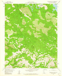
1959 Map of Pebblestone Shut-In
USGS Topo · Published 1960About this map
Cambria Mine and the Hamilton Mine are part of a dense cluster of extraction sites scattered across this terrain in the late 1950s. The map illustrates a high-elevation landscape marked by steep canyons such as McLaughlin Canyon and Carrol Canyon, with numerous prospects located along the slopes of Red Mtn and Pine Mtn. To the north, the Nacimiento River flows toward the Nacimiento Res, passing through the narrow Pebblestone Shut-in. The area is defined by the headwaters of the North Fork, Middle Fork, and South Fork San Simeon Creek, which drain the massive Piedra Blanca Ridge. Evidence of early surveying and habitation is visible through remote trails and a solitary Cem located near the riverbank, while the Rocky Butte Lookout stands as a primary landmark over the rugged interior.
Find a feature on this map
41 named features on this map. Tap any name to fly to it.
Don’t see what you’re looking for? This feature index may not catch every label — zoom into the map to look around manually.
Map Details
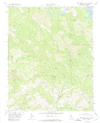
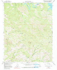
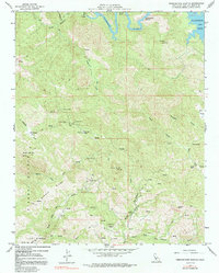
Editions of this 1959 Pebblestone Shut-In Map
4 editions found
Other maps of this area

1919 · Bryson
USGS Topo · 1:62,500

1919 · Bradley
USGS Topo · 1:62,500

1919 · Adelaida
USGS Topo · 1:62,500

1919 · San Simeon
USGS Topo · 1:62,500

1932 · Adelaida
USGS Topo · 1:62,500

1937 · San Simeon
USGS Topo · 1:62,500

1941 · Bradley
USGS Topo · 1:62,500

1941 · Bryson
USGS Topo · 1:62,500

1942 · Adelaida
USGS Topo · 1:62,500

1942 · Bryson
USGS Topo · 1:62,500