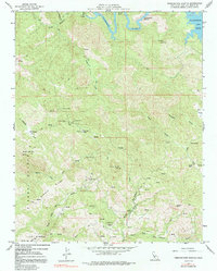
1959 Map of Pebblestone Shut-In
USGS Topo · Published 1991About this map
Mining operations and remote lookout towers define this mid-century landscape in the Santa Lucia Range. The western portion of the map is dominated by a dense network of claims, including the Ocean View Mine, Almaden Mine, and the Quien Sabe Mine, reflecting a period when mineral extraction shaped the local economy. At the high point of Rocky Butte, the Rocky Butte Lookout stands as a sentinel over the surrounding ridges and canyons. To the north, the Nacimiento River carves through the terrain at the Pebblestone Shut-in, eventually feeding into the Nacimiento Res. This survey illustrates the intricate topography between Piedra Blanca Ridge and Middle Ridge, where isolated features like the Hamilton Mine and a small Cem near the South Fork San Simeon Creek mark the footprints of earlier inhabitants and workers.
Find a feature on this map
45 named features on this map. Tap any name to fly to it.
Don’t see what you’re looking for? This feature index may not catch every label — zoom into the map to look around manually.
Map Details
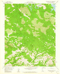
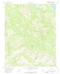
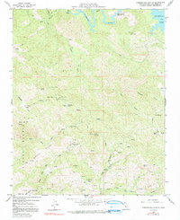
Editions of this 1959 Pebblestone Shut-In Map
4 editions found
Other maps of this area

1919 · Bryson
USGS Topo · 1:62,500

1919 · Bradley
USGS Topo · 1:62,500

1919 · Adelaida
USGS Topo · 1:62,500

1919 · San Simeon
USGS Topo · 1:62,500

1932 · Adelaida
USGS Topo · 1:62,500

1937 · San Simeon
USGS Topo · 1:62,500

1941 · Bradley
USGS Topo · 1:62,500

1941 · Bryson
USGS Topo · 1:62,500

1942 · Adelaida
USGS Topo · 1:62,500

1942 · Bryson
USGS Topo · 1:62,500