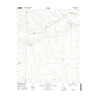
2016 Map of Pecan Gap
USGS Topo · Published 2016About this map
Pecan Gap serves as the central hub for this rural stretch of Northeast Texas, situated where the borders of Delta, Lamar, Fannin, and Hunt counties converge. The landscape is defined by the winding course of the North Sulphur River, which establishes the boundary between Lamar and Delta counties. A network of farm-to-market roads, including FM 64 and FM 128, connects several small communities and historic burial sites that speak to the area's ancestral roots.
Find a feature on this map
91 named features on this map. Tap any name to fly to it.
Don’t see what you’re looking for? This feature index may not catch every label — zoom into the map to look around manually.
Map Details
Editions of this 2016 Pecan Gap Map
This is the sole edition of this map. No revisions or reprints were ever made.
Other maps of this area

1903 · Paris
USGS Topo · 1:125,000

1947 · Honey Grove
USGS Topo · 1:62,500

1948 · Paris
USGS Topo · 1:62,500

1949 · Honey Grove
USGS Topo · 1:62,500

1949 · Paris
USGS Topo · 1:62,500

1953 · Texarkana
USGS Topo · 1:250,000

1956 · Texarkana
USGS Topo · 1:250,000

1964 · Klondike
USGS Topo · 1:24,000

1964 · Commerce North
USGS Topo · 1:24,000

1964 · Cooper North
USGS Topo · 1:24,000