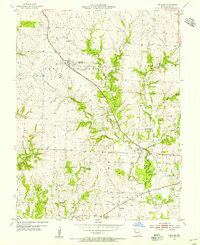
1954 Map of Peculiar
USGS Topo · Published 1955About this map
Peculiar and the nearby site of Old Peculiar serve as the primary anchors of this mid-century Missouri landscape, where the town layout is split by the diagonal path of the ST Louis and San Francisco railroad. This transportation corridor dictates the placement of community infrastructure, including the Peculiar Cem and a nearby Quarry. The surrounding Cass County countryside is defined by its small school districts, which were still distinct enough to be mapped as individual landmarks like Rodman Sch and Brush College Sch.
Find a feature on this map
22 named features on this map. Tap any name to fly to it.
Don’t see what you’re looking for? This feature index may not catch every label — zoom into the map to look around manually.
Map Details
Editions of this 1954 Peculiar Map
2 editions found
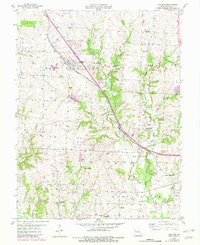
Other maps of this area

1887 · Harrisonville
USGS Topo · 1:125,000

1887 · Olathe
USGS Topo · 1:125,000

1892 · Harrisonville
USGS Topo · 1:125,000

1893 · Olathe
USGS Topo · 1:125,000

1894 · Harrisonville
USGS Topo · 1:125,000

1947 · Lawrence
USGS Topo · 1:250,000

1950 · Lawrence
USGS Topo · 1:250,000
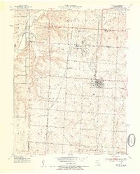
1953 · Belton
USGS Topo · 1:24,000

1953 · Freeman
USGS Topo · 1:24,000

1953 · West Line
USGS Topo · 1:24,000