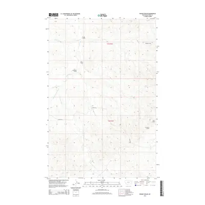
2014 Map of Pedigo Coulee
USGS Topo · Published 2014About this map
Pedigo Coulee and the surrounding drainage basins of McCone County define this corner of the Big Dry country during the early 21st century. The landscape is deeply incised by seasonal watercourses and complex coulee systems, most notably Solly Coulee and Cuttybeck Coulee, which flow toward the larger Prairie Elk Cr watershed. Human presence is sparse and dictated by the terrain, with Thorgaard Rd providing the primary transit route through the southern sections of townships t23n r46e and t22n r46e. These township and range lines overlay a network of named forks and creeks, including Middle Fork Prairie Elk Cr and the descriptively named Figure Eight Cr, reflecting a geography shaped by intermittent water and cattle ranching traditions.
Find a feature on this map
12 named features on this map. Tap any name to fly to it.
Don’t see what you’re looking for? This feature index may not catch every label — zoom into the map to look around manually.
Map Details
Editions of this 2014 Pedigo Coulee Map
This is the sole edition of this map. No revisions or reprints were ever made.
Other maps of this area

1954 · Glendive
USGS Topo · 1:250,000

1957 · Glendive
USGS Topo · 1:250,000

1958 · Glendive
USGS Topo · 1:250,000
1983 · Figure Eight Creek
USGS Topo · 1:24,000

1983 · Haynie Reservoir
USGS Topo · 1:24,000

1983 · Pedigo Coulee
USGS Topo · 1:24,000

1983 · Dailey Spring
USGS Topo · 1:24,000

1983 · North Fork Horse Creek
USGS Topo · 1:24,000

1983 · Hudiburgh Reservoir NW
USGS Topo · 1:24,000
1983 · Sadie Coulee
USGS Topo · 1:24,000