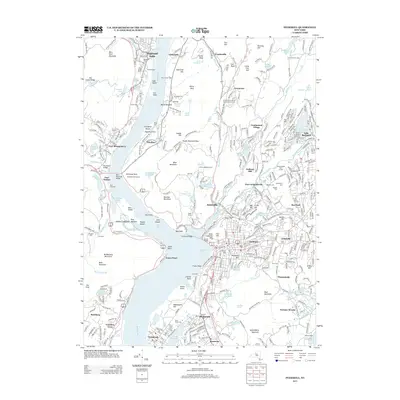
2013 Map of Peekskill
USGS Topo · Published 2013About this map
Anthonys Nose and Bear Mountain dominate the Hudson Highlands here, framing the span of the Bear Mountain Bridge. This corridor of the Hudson River valley reveals a complex layer of settlement patterns, from the riverfront docks of Verplanck and Tomkins Cove to the upland community of Continental Village. The landscape is a mix of protected parklands like Bear Mountain State Park and active riverside infrastructure, including the Metro North railroad line. Several significant cemeteries, such as Hillside Cem and Saint Marys Cem, serve as important markers for local genealogy. Industrial and military history is evident through features like Quarry Pond and the extensive W Point Military Resv footprint in the northern reaches, while the site of the former settlement at Doodletown sits near the base of the mountains.
Find a feature on this map
415 named features on this map. Tap any name to fly to it.
Don’t see what you’re looking for? This feature index may not catch every label — zoom into the map to look around manually.
Map Details
Editions of this 2013 Peekskill Map
This is the sole edition of this map. No revisions or reprints were ever made.
Other maps of this area

1891 · Ramapo
USGS Topo · 1:62,500

1892 · West Point
USGS Topo · 1:62,500

1892 · Tarrytown
USGS Topo · 1:62,500

1893 · Tarrytown
USGS Topo · 1:62,500

1893 · Ramapo
USGS Topo · 1:62,500

1894 · West Point
USGS Topo · 1:62,500

1899 · West Point
USGS Topo · 1:62,500

1901 · West Point
USGS Topo · 1:62,500

1902 · Tarrytown
USGS Topo · 1:62,500

1902 · Schunemunk
USGS Topo · 1:62,500