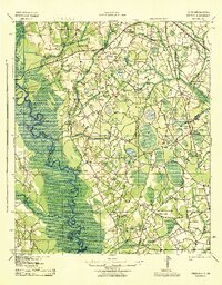
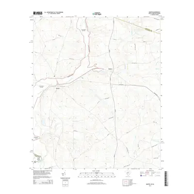
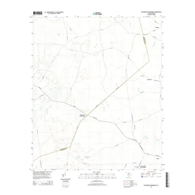
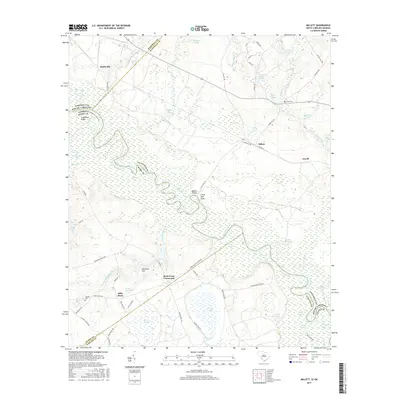
1943 Map of Peeples
USGS Topo · Published 1943About this map
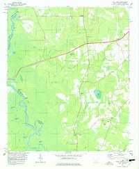
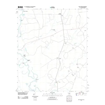
The Savannah River defines the western edge of this 1943 Army Map Service survey, where numerous landings like Cohens Bluff Landing and King Creek Landing link the water to the agricultural interior of Allendale County. The landscape is a network of rural crossroads and family-named settlements, including Woods Crossroads, Gravel Hill, and Sanders. Cultural life in this era centered on country institutions such as Cooks Chapel Sch, Sweet Bethel Ch, and Springfield Ch.
Find a feature on this map
71 named features on this map. Tap any name to fly to it.
Don’t see what you’re looking for? This feature index may not catch every label — zoom into the map to look around manually.
Map Details
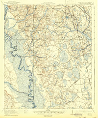
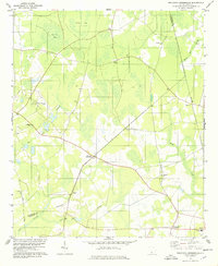
Editions of this 1943 Peeples Map
This is the sole edition of this map. No revisions or reprints were ever made.
Historical Maps of Allendale Through Time
32 maps found
1920 Peeples
Allendale County, SC
1943 Peeples
Allendale County, SC
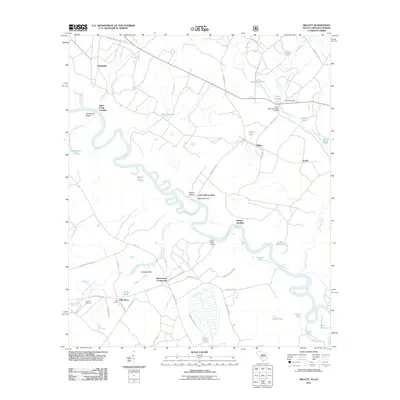
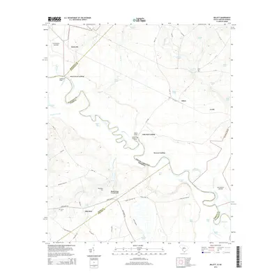
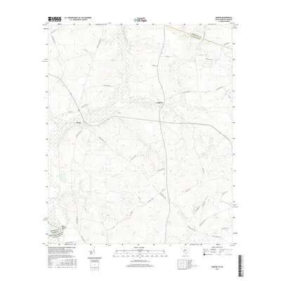
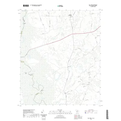
1964 Millett
Allendale County, SC
1978 Barton
Allendale County, SC
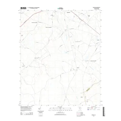
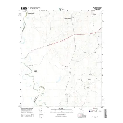
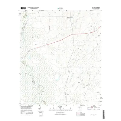
1978 Bull Pond
Allendale County, SC
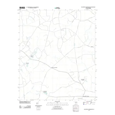
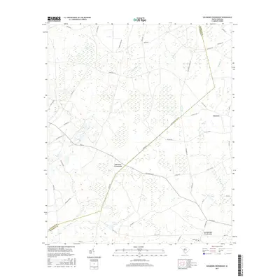
1978 Solomons Crossroads
Allendale County, SC
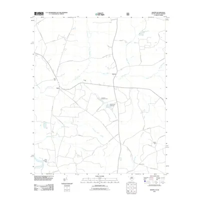
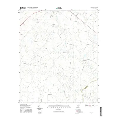
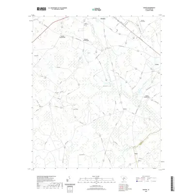
1979 Martin
Allendale County, SC
2011 Barton
Allendale County, SC
2011 Bull Pond
Allendale County, SC
2011 Martin
Allendale County, SC
2011 Millett
Allendale County, SC
2011 Solomons Crossroads
Allendale County, SC
2014 Barton
Allendale County, SC
2014 Bull Pond
Allendale County, SC
2014 Martin
Allendale County, SC
2014 Millett
Allendale County, SC
2014 Solomons Crossroads
Allendale County, SC
2017 Barton
Allendale County, SC
2017 Bull Pond
Allendale County, SC
2017 Martin
Allendale County, SC
2017 Millett
Allendale County, SC
2017 Solomons Crossroads
Allendale County, SC
2020 Barton
Allendale County, SC
2020 Bull Pond
Allendale County, SC
2020 Martin
Allendale County, SC
2020 Millett
Allendale County, SC
2020 Solomons Crossroads
Allendale County, SC
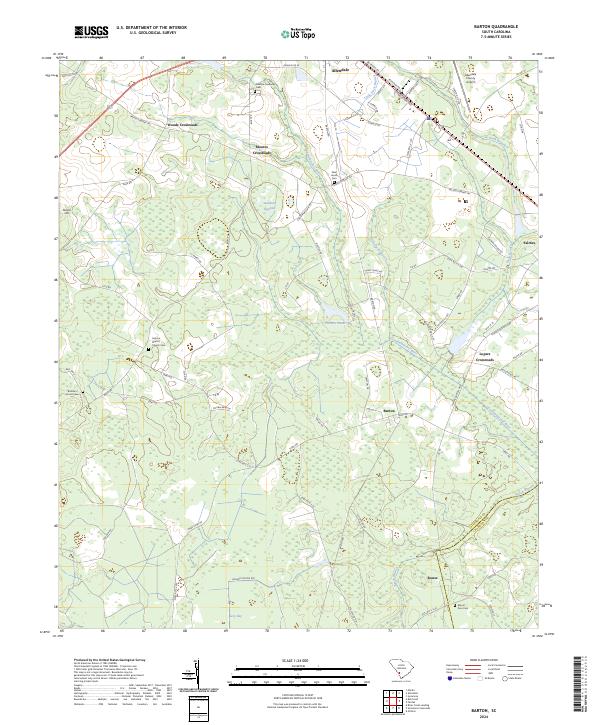
2024 Barton
Allendale County, SC
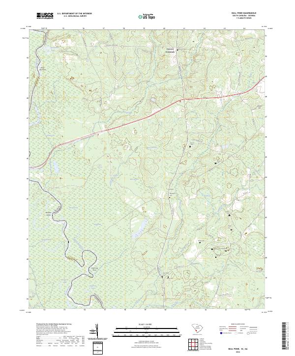
2024 Bull Pond
Allendale County, SC
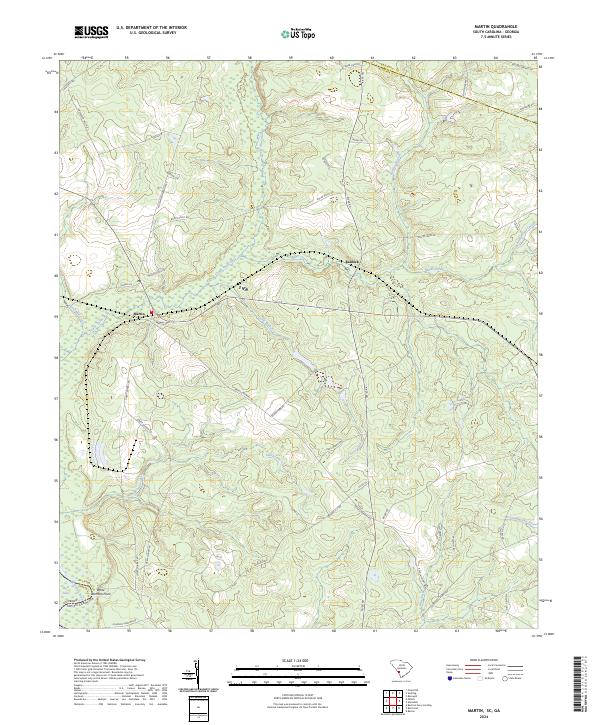
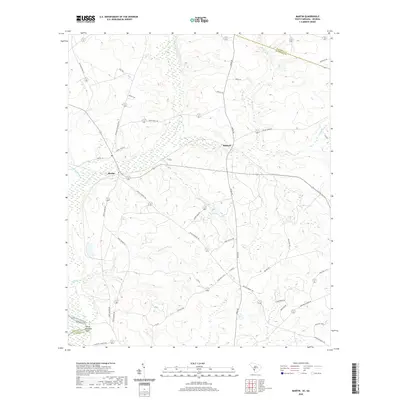
2024 Martin
Allendale County, SC
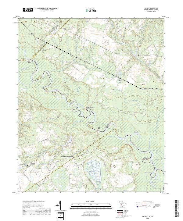
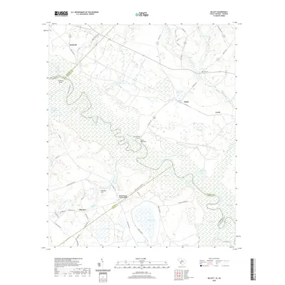
2024 Millett
Allendale County, SC
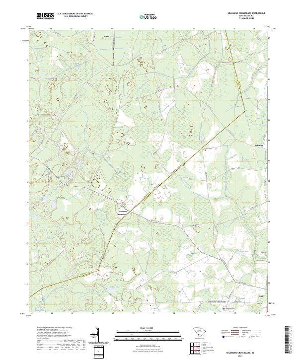
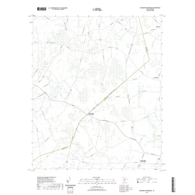
2024 Solomons Crossroads
Allendale County, SC