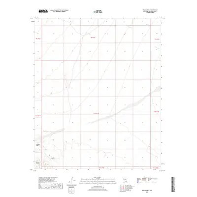
2018 Map of Pegleg Well
USGS Topo · Published 2018About this map
Pegleg Well sits at the base of the Chocolate Mountains in this arid region of Imperial County. The landscape is defined by its drainage patterns, notably the German Diggins Wash and the Arroyo Seco, which cut through the desert floor. To the northwest, the terrain rises into the vicinity of Martinez Gulch, showing the transition from alluvial fans to more varied elevations. Sparse infrastructure, such as Skyline Dr, traces the edges of this remote environment. This 2018 survey documents the persistent character of a location known for its ties to desert prospecting and travel routes, illustrating the natural features that have dictated movement through the area for generations.
Find a feature on this map
14 named features on this map. Tap any name to fly to it.
Don’t see what you’re looking for? This feature index may not catch every label — zoom into the map to look around manually.
Map Details
Editions of this 2018 Pegleg Well Map
This is the sole edition of this map. No revisions or reprints were ever made.
Other maps of this area

1940 · Iris
USGS Topo · 1:62,500

1940 · Iris Pass
USGS Topo · 1:62,500

1945 · Iris Pass
USGS Topo · 1:62,500

1945 · Iris
USGS Topo · 1:62,500

1953 · Chuckwalla Spring
USGS Topo · 1:62,500

1953 · Acolita
USGS Topo · 1:62,500

1954 · Salton Sea
USGS Topo · 1:250,000

1955 · Tortuga
USGS Topo · 1:24,000

1955 · Salton Sea
USGS Topo · 1:250,000

1959 · Salton Sea
USGS Topo · 1:250,000