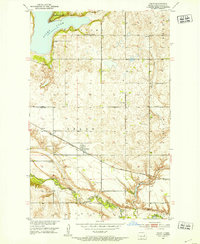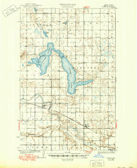
1930 Map of Pekin
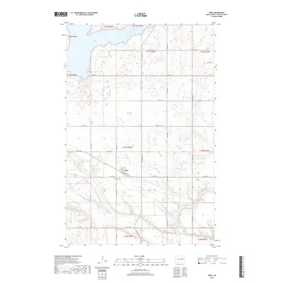
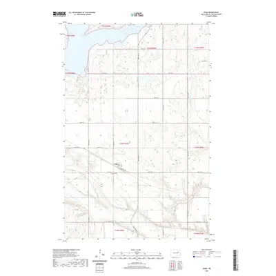
USGS Topo · Published 1960About this map
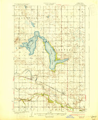
Pekin and Tolna serve as the primary hubs of this Nelson County prairie landscape, situated along the Great Northern railroad line. The map captures a moment when rural life was anchored by local education, evidenced by numerous numbered schoolhouses such as School No 1 and School No 2 scattered across townships like Adler, Dayton, and Wamduska. The northern half of the survey is dominated by the intricate shorelines of the U. S. Bird Refuge Stump Lake, alongside smaller bodies of water including Rose Lake, Swan Lake, and Coon Lake. To the south, the Sheyenne River winds through the terrain, providing a natural drainage corridor for the surrounding agricultural lands. This survey reflects the established section-line road grid and rail-dependent economy of North Dakota's eastern plains before the significant consolidation of rural districts.
Find a feature on this map
24 named features on this map. Tap any name to fly to it.
Don’t see what you’re looking for? This feature index may not catch every label — zoom into the map to look around manually.
Map Details
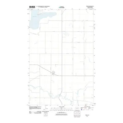
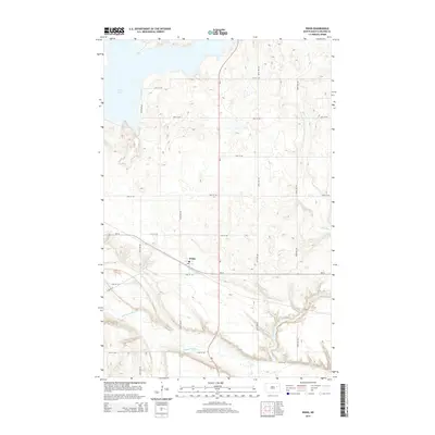
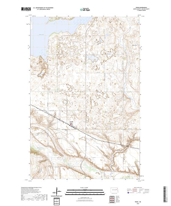
Editions of this 1930 Pekin Map
2 editions found
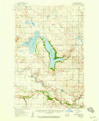
Historical Maps of Tolna Through Time
8 maps found