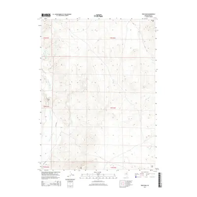
2014 Map of Peko Peak
USGS Topo · Published 2014About this map
Peko Peak and the surrounding Peko Hills dominate this high-desert terrain in northeastern Nevada. The landscape is defined by the drainage network of the N Fork Humboldt River, which carves through the western edge of the quadrangle near the prominent Devils Gate formation. This gap in the topography suggests a natural corridor for movement, supported by the presence of Devils Gate Rd tracing the river's path.
Find a feature on this map
17 named features on this map. Tap any name to fly to it.
Don’t see what you’re looking for? This feature index may not catch every label — zoom into the map to look around manually.
Map Details
Editions of this 2014 Peko Peak Map
This is the sole edition of this map. No revisions or reprints were ever made.
Other maps of this area

1955 · Wells
USGS Topo · 1:250,000

1958 · Wells
USGS Topo · 1:250,000

1961 · Wells
USGS Topo · 1:250,000

1967 · Hanks Creek SW
USGS Topo · 1:24,000

1967 · Hot Springs Creek
USGS Topo · 1:24,000

1967 · Twin Buttes
USGS Topo · 1:24,000

1967 · Peko Peak
USGS Topo · 1:24,000
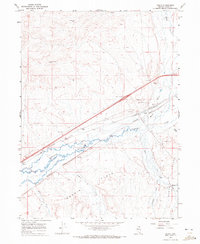
1967 · Deeth
USGS Topo · 1:24,000
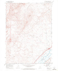
1967 · Morgan Hill
USGS Topo · 1:24,000

1971 · Double Mtn SE
USGS Topo · 1:24,000