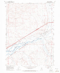
1967 Map of Deeth
USGS Topo · Published 1972About this map
Humboldt River and Marys River converge in this high-desert landscape, creating a vital transportation corridor through northeastern Nevada. The small settlement of Deeth serves as a focal point where the Southern Pacific and Western Pacific railroads parallel the winding riverbanks. This 1967 field-checked survey illustrates the transition from traditional rail infrastructure to the modern highway era, evidenced by the presence of 80 and the Deeth Interchange.
Find a feature on this map
28 named features on this map. Tap any name to fly to it.
Don’t see what you’re looking for? This feature index may not catch every label — zoom into the map to look around manually.
Map Details
Editions of this 1967 Deeth Map
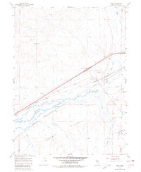
2 editions found
Other maps of this area

1935 · Halleck
USGS Topo · 1:125,000

1955 · Wells
USGS Topo · 1:250,000

1955 · Elko
USGS Topo · 1:250,000

1958 · Wells
USGS Topo · 1:250,000

1958 · Elko
USGS Topo · 1:250,000

1961 · Wells
USGS Topo · 1:250,000

1962 · Elko
USGS Topo · 1:250,000

1965 · Elko
USGS Topo · 1:250,000

1967 · Twin Buttes
USGS Topo · 1:24,000

1967 · Peko Peak
USGS Topo · 1:24,000