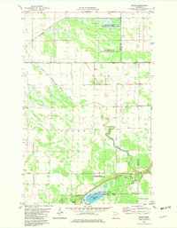
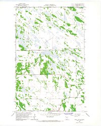
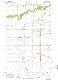
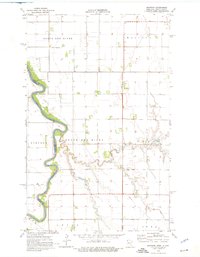
1982 Map of Pelan
USGS Topo · Published 1982This historical map portrays the area of Pelan in 1982, primarily covering Kittson County as well as portions of Roseau County. Featuring a scale of 1:24000, this map provides a highly detailed snapshot of the terrain, roads, buildings, counties, and historical landmarks in the Pelan region at the time. Published in 1982, it is the sole known edition of this map.
Map Details
Editions of this 1982 Pelan Map
This is the sole edition of this map. No revisions or reprints were ever made.
Historical Maps of Roseau County Through Time
16 maps found
1966 Caribou
Kittson County, MN
1966 Juneberry Ridge
Kittson County, MN
1966 Skull Lake
Kittson County, MN
1966 Skull Lake NE
Kittson County, MN
1966 Skull Lake SE
Kittson County, MN
1966 Skull Lake SW
Kittson County, MN
1974 Drayton SE
Kittson County, MN
1974 Enok
Kittson County, MN
1974 Hallock NE
Kittson County, MN
1974 Hill Siding
Kittson County, MN
1974 Kennedy SE
Kittson County, MN
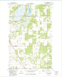
1974 Mattson
Kittson County, MN
1974 Orleans
Kittson County, MN
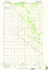
1982 Karlstad SW
Kittson County, MN
1982 Pelan
Kittson County, MN
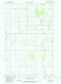
1982 Twistal Swamp
Kittson County, MN