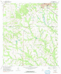
1971 Map of Pelham
USGS Topo · Published 1991About this map
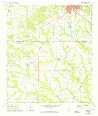
The city of Pelham serves as the focal point of this South Georgia landscape, situated at the junction of the Seaboard Coast Line railroad and several regional thoroughfares. The terrain is defined by a intricate network of drainage systems, including Spence Mill Creek and Barnetts Creek, which give way to notable water features like Spence Millpond and Chickasaw Lake. This 1971 survey illustrates a predominantly rural community anchored by small settlements such as Pineview and numerous local landmarks.
Find a feature on this map
27 named features on this map. Tap any name to fly to it.
Don’t see what you’re looking for? This feature index may not catch every label — zoom into the map to look around manually.
Map Details
Editions of this 1971 Pelham Map
2 editions found
Other maps of this area

1953 · Dothan
USGS Topo · 1:250,000

1954 · Dothan
USGS Topo · 1:250,000

1954 · Tallahassee
USGS Topo · 1:250,000

1955 · Dothan
USGS Topo · 1:250,000

1955 · Whigham
USGS Topo · 1:62,500

1956 · Cairo
USGS Topo · 1:62,500

1959 · Tallahassee
USGS Topo · 1:250,000

1960 · Tallahassee
USGS Topo · 1:250,000

1971 · Meigs
USGS Topo · 1:24,000

1971 · Gee Pond
USGS Topo · 1:24,000