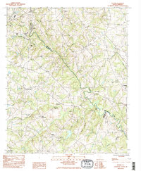
1983 Map of Pelham
USGS Topo · Published 1983About this map
The Enoree River defines the landscape as it winds through the Upstate, marking the historical boundary between Spartanburg and Greenville counties. This 1980s provisional survey highlights the agrarian and spiritual centers of the region, featuring a high density of rural houses of worship such as Old Pilgrim Ch, Wesley Chapel, and Clear Spring Ch. Small community centers like Pelham, Batesville, and Cashville are shown at a time of transition, surrounded by a network of named waterways including Gilder Creek and Horsepen Creek. The presence of several family-named landmarks, like Mayfield Cem and Vaughan Cem, along with the Hunter Pipeline, illustrates the convergence of early settlement roots and modern industrial infrastructure.
Find a feature on this map
37 named features on this map. Tap any name to fly to it.
Don’t see what you’re looking for? This feature index may not catch every label — zoom into the map to look around manually.
Map Details
Editions of this 1983 Pelham Map
2 editions found
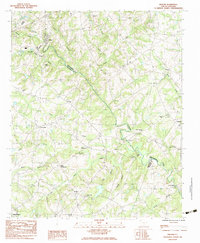
Other maps of this area

1935 · Greer
USGS Topo · 1:48,000

1935 · Greenville
USGS Topo · 1:48,000

1938 · Greenville
USGS Topo · 1:62,500

1938 · Greer
USGS Topo · 1:62,500

1954 · Greenville
USGS Topo · 1:250,000

1957 · Fountain Inn
USGS Topo · 1:62,500

1957 · Williamston
USGS Topo · 1:62,500

1957 · Greer
USGS Topo · 1:62,500

1957 · Greenville
USGS Topo · 1:62,500

1958 · Greenville
USGS Topo · 1:250,000