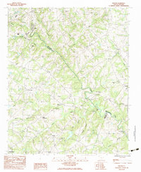
1983 Map of Pelham
USGS Topo · Published 1983About this map
The Enoree River winds through the upstate Piedmont, carving a path that serves as the natural boundary between Spartanburg and Greenville Counties. This 1980s landscape is defined by its transition from rural creek-side communities to the early suburban expansion of Simpsonville and Pelham. For local historians, the sheet is dense with small rural centers like Batesville, Five Forks, and Cashville, each anchored by a network of local churches.
Find a feature on this map
40 named features on this map. Tap any name to fly to it.
Don’t see what you’re looking for? This feature index may not catch every label — zoom into the map to look around manually.
Map Details
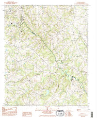
Editions of this 1983 Pelham Map
2 editions found
Other maps of this area

1935 · Greer
USGS Topo · 1:48,000

1935 · Greenville
USGS Topo · 1:48,000

1938 · Greenville
USGS Topo · 1:62,500

1938 · Greer
USGS Topo · 1:62,500

1954 · Greenville
USGS Topo · 1:250,000

1957 · Fountain Inn
USGS Topo · 1:62,500

1957 · Williamston
USGS Topo · 1:62,500

1957 · Greer
USGS Topo · 1:62,500

1957 · Greenville
USGS Topo · 1:62,500

1958 · Greenville
USGS Topo · 1:250,000