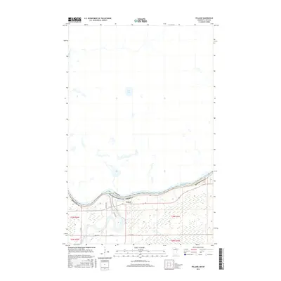
2016 Map of Pelland
USGS Topo · Published 2016About this map
The Rainy River defines the international boundary between Minnesota and Canada on this 2016 survey, serving as the primary geographic feature of the northern borderlands. The small settlement of Pelland sits near the confluence where the Little Fork River meets the larger Rainy River, a location traditionally vital for river-based navigation and early timber transport. The landscape south of the border is marked by a grid of rural roads, including Town Rd 208 and Co Rd 79, which navigate the wetlands and low-lying plains typical of Koochiching Co. North of the river in Ontario, the terrain remains relatively undeveloped, characterized by hydrologic features like Kehl Lake and the meandering La Vallee River. This map illustrates the modern rural infrastructure alongside the ancient river corridors that have historically shaped commerce and movement in the border country.
Find a feature on this map
19 named features on this map. Tap any name to fly to it.
Don’t see what you’re looking for? This feature index may not catch every label — zoom into the map to look around manually.
Map Details
Editions of this 2016 Pelland Map
This is the sole edition of this map. No revisions or reprints were ever made.
Other maps of this area

1919 · Pelland
USGS Topo · 1:62,500

1919 · Happy Land
USGS Topo · 1:62,500

1919 · International Falls
USGS Topo · 1:62,500

1954 · International Falls
USGS Topo · 1:250,000

1957 · International Falls
USGS Topo · 1:250,000

1958 · International Falls
USGS Topo · 1:250,000

1969 · Ericsburg NW
USGS Topo · 1:24,000
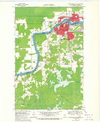
1969 · International Falls
USGS Topo · 1:24,000

1970 · Devlin
USGS Topo · 1:24,000
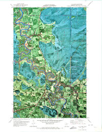
1970 · Littlefork
USGS Topo · 1:24,000