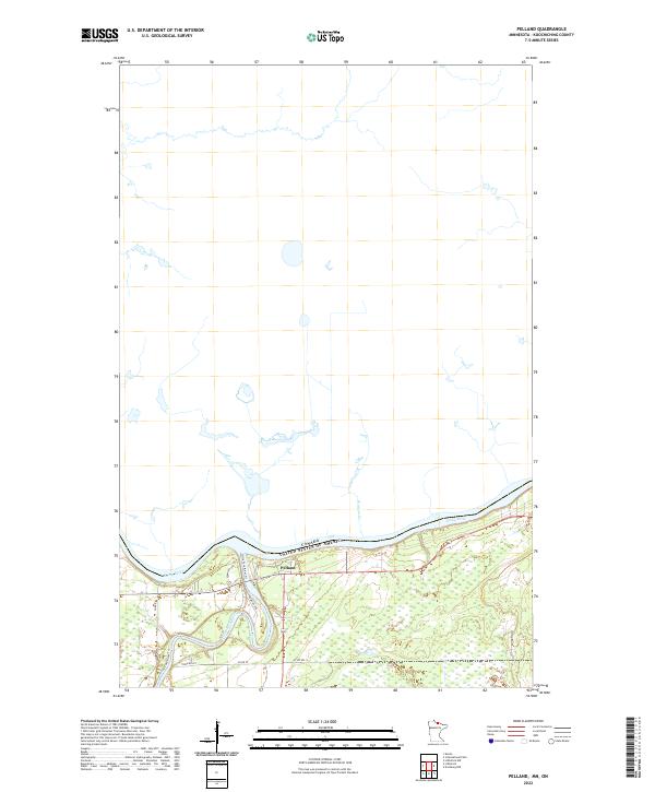
2022 Map of Pelland
USGS Topo · Published 2022About this map
Pelland sits at a strategic bend where the river and local roads converge, serving as a primary point of interest in this section of Koochiching County. The landscape is dominated by the massive Rainy River, which establishes the international boundary between Canada and the United States. To the south, a network of trails and rural roads like Little Fork River Trl, Co Rd 79, and Town Rd 201 weave through the marshy lowlands and river flats. This area represents a quiet borderland character, where transportation routes are dictated by the winding path of the water and the underlying topography of the township and range system.
Find a feature on this map
12 named features on this map. Tap any name to fly to it.
Don’t see what you’re looking for? This feature index may not catch every label — zoom into the map to look around manually.
Map Details
Editions of this 2022 Pelland Map
This is the sole edition of this map. No revisions or reprints were ever made.
Other maps of this area

1919 · Pelland
USGS Topo · 1:62,500

1919 · Happy Land
USGS Topo · 1:62,500

1919 · International Falls
USGS Topo · 1:62,500

1954 · International Falls
USGS Topo · 1:250,000

1957 · International Falls
USGS Topo · 1:250,000

1958 · International Falls
USGS Topo · 1:250,000

1969 · Ericsburg NW
USGS Topo · 1:24,000
1969 · International Falls
USGS Topo · 1:24,000

1970 · Devlin
USGS Topo · 1:24,000
1970 · Littlefork
USGS Topo · 1:24,000