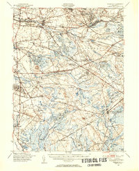
1949 Map of Pemberton
USGS Topo · Published 1954About this map
The Fort Dix Military Reservation dominates the northern reaches of this Burlington County landscape, its sprawling impact areas and rifle ranges contrasting with the industrial and agricultural clusters of the Pine Barrens. In the east, Whitesbog and Browns Mills mark significant points of settlement, while the southern half of the sheet is defined by the dense woodlands of Lebanon State Forest and the early bog iron and cranberry history at Hampton Furnace and Hanover Furnace.
Find a feature on this map
130 named features on this map. Tap any name to fly to it.
Don’t see what you’re looking for? This feature index may not catch every label — zoom into the map to look around manually.
Map Details
Editions of this 1949 Pemberton Map
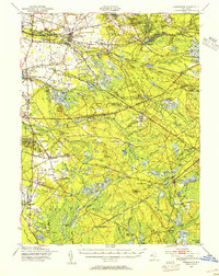
2 editions found
Other maps of this area

1884 · Whitings
USGS Topo · 1:62,500

1888 · Bordentown
USGS Topo · 1:62,500

1888 · Pemberton
USGS Topo · 1:62,500

1888 · Little Egg Harbor
USGS Topo · 1:62,500

1888 · Mount Holly
USGS Topo · 1:62,500

1888 · Cassville
USGS Topo · 1:62,500

1888 · Whitings
USGS Topo · 1:62,500

1890 · Hammonton
USGS Topo · 1:62,500

1890 · Burlington
USGS Topo · 1:62,500

1890 · Mullica
USGS Topo · 1:62,500
Featured Places
- Southampton Township, NJ
- Plumsted Township, NJ
- Tabernacle Township, NJ
- Eastampton Township, NJ
- Springfield Township, NJ