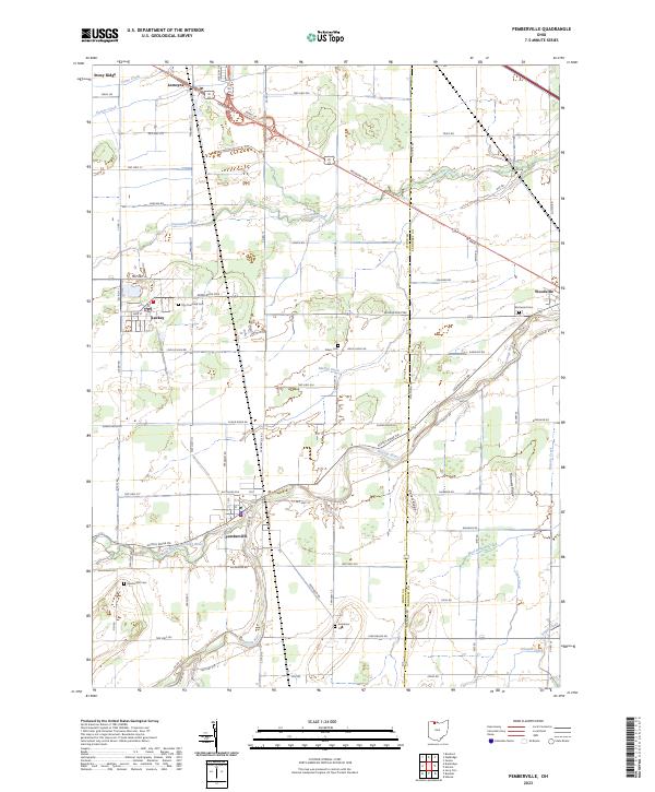
2023 Map of Pemberville
USGS Topo · Published 2023About this map
Pemberville and Woodville anchor this portion of the Black Swamp region, where the Portage River and its various branches dictate the layout of the land. The terrain is notably influenced by Celler's Ridge, a subtle rise in the landscape that contrasts with the surrounding agricultural plains. The map reveals a dense network of township and county roads, such as Middleton Pike and Fort Findlay Rd, which connect historic clusters like Luckey, Stony Ridge, and Lemoyne.
Find a feature on this map
83 named features on this map. Tap any name to fly to it.
Don’t see what you’re looking for? This feature index may not catch every label — zoom into the map to look around manually.
Map Details
Editions of this 2023 Pemberville Map
This is the sole edition of this map. No revisions or reprints were ever made.
Other maps of this area

1900 · Maumee Bay
USGS Topo · 1:62,500

1900 · Toledo
USGS Topo · 1:62,500

1901 · Bowling Green
USGS Topo · 1:62,500

1901 · Elmore
USGS Topo · 1:62,500

1903 · Bowling Green
USGS Topo · 1:62,500

1903 · Elmore
USGS Topo · 1:62,500

1934 · Rossford
USGS Topo · 1:24,000

1935 · Walbridge
USGS Topo · 1:24,000

1935 · Genoa
USGS Topo · 1:24,000

1938 · Walbridge
USGS Topo · 1:31,680