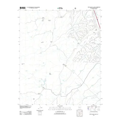
2012 Map of Pena Blanca Lake
USGS Topo · Published 2012About this map
Peña Blanca Lake and its surrounding canyons define this high-desert landscape in southern Arizona. The terrain is marked by a complex system of drainages, including Peña Blanca Canyon, Walker Canyon, and Alamo Canyon, punctuated by landmarks like Lion Mountain and Castle Rock. A network of water management features, such as H Six Tank, Wolf Canyon Tank, and Rock Water Spring, illustrates the necessity of water infrastructure for local ranching operations at Cumming Ranch, Lowell Ranch, and Kane Ranch. To the east, the edge of a developing residential community is visible, characterized by winding streets like Calle Calabasas and Avenida Ciervo. This area also serves as a recreational and transportation hub, featuring the White Rock Campground and the Rio Rico Airstrip near the Santa Cruz River.
Find a feature on this map
139 named features on this map. Tap any name to fly to it.
Don’t see what you’re looking for? This feature index may not catch every label — zoom into the map to look around manually.
Map Details
Editions of this 2012 Pena Blanca Lake Map
This is the sole edition of this map. No revisions or reprints were ever made.
Other maps of this area

1904 · Patagonia
USGS Topo · 1:125,000

1905 · Patagonia
USGS Topo · 1:125,000

1905 · Nogales
USGS Topo · 1:125,000

1920 · Arivaca
USGS Topo · 1:125,000

1921 · Old Glory
USGS Topo · 1:125,000

1922 · Agus Caliente
USGS Topo · 1:62,500

1933 · Calabasas
USGS Topo · 1:62,500

1939 · Tubac
USGS Topo · 1:62,500

1942 · Ruby
USGS Topo · 1:62,500

1943 · Old Glory
USGS Topo · 1:125,000