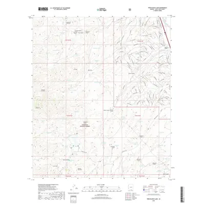
2018 Map of Pena Blanca Lake
USGS Topo · Published 2018About this map
The Coronado National Forest dominates this high-desert landscape in southern Arizona, where the Tumacacori Mountains and Atascosa Mountains meet near the international border. This 2018 survey reveals a terrain defined by a complex network of canyons and peaks, anchored by the prominent Castle Rock and the elevations of the Pajarito Mountains. The map provides an intricate look at the water-management infrastructure vital to this arid environment, naming numerous livestock tanks such as Wolf Canyon Tank, Buckshot Tank, and H Six Tank. While the southwestern portion remains largely undeveloped forest land, the northeastern corner shows a growing network of residential roads including Cll Cherokee and Cll Tubutana near the Agua Fria Canyon. Historical travel routes like the Ruby-Nogales Rd wind through Bellota Canyon, connecting isolated springs like Bellota Spring and Rock Water Spring across the drainage systems of Pena Blanca Canyon.
Find a feature on this map
134 named features on this map. Tap any name to fly to it.
Don’t see what you’re looking for? This feature index may not catch every label — zoom into the map to look around manually.
Map Details
Editions of this 2018 Pena Blanca Lake Map
This is the sole edition of this map. No revisions or reprints were ever made.
Other maps of this area

1904 · Patagonia
USGS Topo · 1:125,000

1905 · Patagonia
USGS Topo · 1:125,000

1905 · Nogales
USGS Topo · 1:125,000

1920 · Arivaca
USGS Topo · 1:125,000

1921 · Old Glory
USGS Topo · 1:125,000

1922 · Agus Caliente
USGS Topo · 1:62,500

1933 · Calabasas
USGS Topo · 1:62,500

1939 · Tubac
USGS Topo · 1:62,500

1942 · Ruby
USGS Topo · 1:62,500

1943 · Old Glory
USGS Topo · 1:125,000