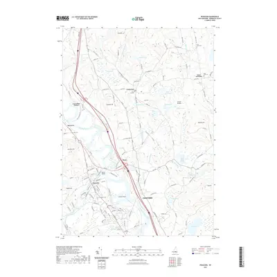
2021 Map of Penacook
USGS Topo · Published 2021About this map
The Merrimack River serves as the central artery for this part of New Hampshire, where the confluence with the Contoocook River defines the landscape near Penacook. This survey captures a mix of established town centers like Boscawen and Canterbury alongside smaller historical nodes such as Boyce and Canterbury Station. The presence of several family and church burial grounds, including Shell Church Cem and Zions Hill Cem, provides significant detail for genealogical research. Land use in the early 21st century remains tied to the water and terrain, visible in features like the Sewalls Falls and the broad Hoit Road Marsh. Education and local history are anchored by landmarks like the Kezer Seminary in the northeastern reaches, while the geography is punctuated by numerous hills such as Cogswell Hill and Whitney Hill.
Find a feature on this map
141 named features on this map. Tap any name to fly to it.
Don’t see what you’re looking for? This feature index may not catch every label — zoom into the map to look around manually.
Map Details
Editions of this 2021 Penacook Map
This is the sole edition of this map. No revisions or reprints were ever made.
Other maps of this area

1919 · Gilmanton
USGS Topo · 1:62,500

1921 · Suncook
USGS Topo · 1:62,500

1927 · Concord
USGS Topo · 1:62,500

1927 · Penacook
USGS Topo · 1:62,500

1927 · Gilmanton
USGS Topo · 1:62,500

1944 · Suncook
USGS Topo · 1:62,500

1949 · Portland
USGS Topo · 1:250,000

1949 · Concord
USGS Topo · 1:62,500

1956 · Penacook
USGS Topo · 1:62,500

1956 · Portland
USGS Topo · 1:250,000