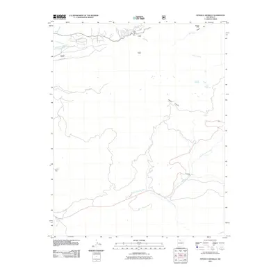
2011 Map of Penasco Amarillo
USGS Topo · Published 2011About this map
Rio Brazos defines the northern reaches of this landscape, carving through dramatic features like the Brazos Cliffs and Brazos Box. The water management systems here, including the El Porvenir Community Ditch and Ensenada Ditch, reflect the vital importance of irrigation to the high-country settlements. Small residential and recreational clusters like Milston Acres, Brazos Lodge, and Corkins Lodge sit near the river valley, while the southern terrain transitions toward the high landmark of Peñasco Amarillo. Transportation in the area relies on rural routes such as County Rd 328 and County Rd 485. In the western portion of the map, the Dandee Mine stands as a point of interest for those researching local mineral extraction history, situated not far from the Esenada Airport.
Find a feature on this map
23 named features on this map. Tap any name to fly to it.
Don’t see what you’re looking for? This feature index may not catch every label — zoom into the map to look around manually.
Map Details
Editions of this 2011 Penasco Amarillo Map
This is the sole edition of this map. No revisions or reprints were ever made.
Other maps of this area

1918 · Tusas
USGS Topo · 1:125,000

1954 · Aztec
USGS Topo · 1:250,000

1955 · Chama
USGS Topo · 1:62,500

1955 · Cebolla
USGS Topo · 1:62,500

1955 · Brazos Peak
USGS Topo · 1:62,500

1955 · Tierra Amarilla
USGS Topo · 1:62,500

1958 · Aztec
USGS Topo · 1:250,000

1962 · Aztec
USGS Topo · 1:250,000

1965 · Aztec
USGS Topo · 1:250,000

1981 · Chama
USGS Topo · 1:100,000