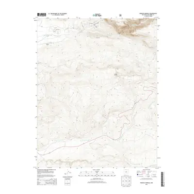
2013 Map of Penasco Amarillo
USGS Topo · Published 2013About this map
Peñasco Amarillo dominates the central high country of this northern New Mexico landscape, where steep canyons and alpine drainages converge. The northern portion of the map is defined by the dramatic Brazos Cliffs and the deep incision of the Brazos Box, where the Rio Brazos flows westward. Human activity is concentrated along the river valley and the lower slopes, evidenced by the small development at Milston Acres and several recreational outposts such as Brazos Lodge and Corkins Lodge.
Find a feature on this map
24 named features on this map. Tap any name to fly to it.
Don’t see what you’re looking for? This feature index may not catch every label — zoom into the map to look around manually.
Map Details
Editions of this 2013 Penasco Amarillo Map
This is the sole edition of this map. No revisions or reprints were ever made.
Other maps of this area

1918 · Tusas
USGS Topo · 1:125,000

1954 · Aztec
USGS Topo · 1:250,000

1955 · Chama
USGS Topo · 1:62,500

1955 · Cebolla
USGS Topo · 1:62,500

1955 · Brazos Peak
USGS Topo · 1:62,500

1955 · Tierra Amarilla
USGS Topo · 1:62,500

1958 · Aztec
USGS Topo · 1:250,000

1962 · Aztec
USGS Topo · 1:250,000

1965 · Aztec
USGS Topo · 1:250,000

1981 · Chama
USGS Topo · 1:100,000