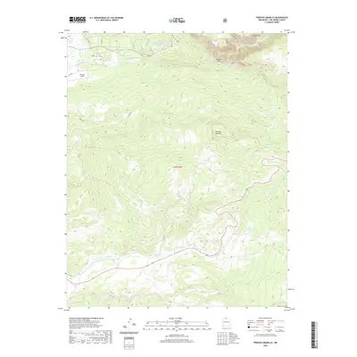
2020 Map of Penasco Amarillo
USGS Topo · Published 2020About this map
Brazos Cliffs dominate the northeastern horizon of this section of Rio Arriba County, where the high-altitude terrain of the Carson National Forest meets the northern New Mexico ranching tradition. The landscape is defined by the dramatic descent from the volcanic heights of Peñasco Amarillo down to the deeply incised Brazos Box canyon. This 2020 record captures the hydrology of the upper Rio Grande watershed, tracing the courses of Rio Brazos and the Rito de Tierra Amarilla as they carve through the sandstone and shale formations.
Find a feature on this map
18 named features on this map. Tap any name to fly to it.
Don’t see what you’re looking for? This feature index may not catch every label — zoom into the map to look around manually.
Map Details
Editions of this 2020 Penasco Amarillo Map
This is the sole edition of this map. No revisions or reprints were ever made.
Other maps of this area

1918 · Tusas
USGS Topo · 1:125,000

1954 · Aztec
USGS Topo · 1:250,000

1955 · Chama
USGS Topo · 1:62,500

1955 · Cebolla
USGS Topo · 1:62,500

1955 · Brazos Peak
USGS Topo · 1:62,500

1955 · Tierra Amarilla
USGS Topo · 1:62,500

1958 · Aztec
USGS Topo · 1:250,000

1962 · Aztec
USGS Topo · 1:250,000

1965 · Aztec
USGS Topo · 1:250,000

1981 · Chama
USGS Topo · 1:100,000